Health & Fitness
Marlborough Pedestrian And Bicycle Network Approved
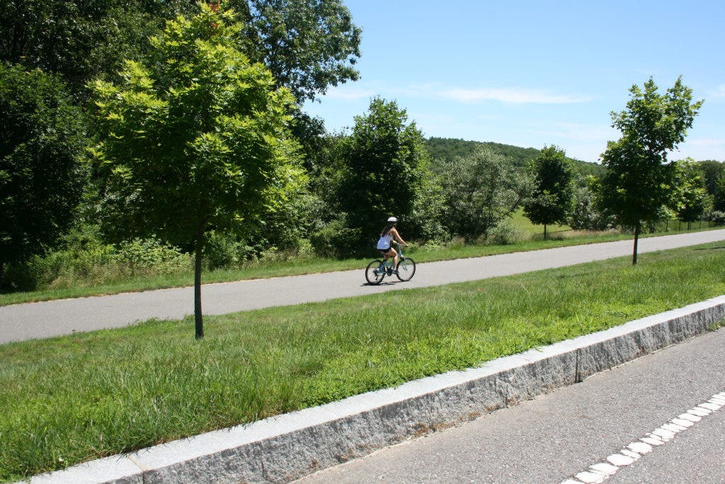
A pedestrian and bicycle network planning project has been approved for several communities including Marlborough
The Metropolitan Area Planning Council (MAPC) Pedestrian and Bicycle Network planning project for several communities including Marlborough, has been approved by the Sustainable Communities Consortium.
According to the MAP Consortium for Sustainable Communities’ 3-Year Work Plan (dated May 24, 2011), incomplete pedestrian and bicycle infrastructure contributes to auto dependency. Comprehensive planning is a critical first step in helping to improve connectivity. MAPC will assist several groups of communities in advancing pedestrian and bicycle planning, with the goal to encourage the implementation of pedestrian and bicycle accommodation at the local level and to create networks for safe non-vehicular travel.
MAPC has engaged four clusters of cities and towns to target this effort. They are: 1) City of Quincy; 2) Town of Hudson, Town of Stow, Town of Maynard, ; 3) City of Chelsea, City of Everett, City of Revere, City of Malden, Town of Saugus, City of Lynn; 4) Town of Dedham, Town of Westwood. This effort will be conducted from Spring to Fall of 2012 at no cost to the municipality. At the conclusion of the planning effort, it would be the responsibility of the individual municipalities to implement the recommendations.
Find out what's happening in Marlboroughwith free, real-time updates from Patch.
Marlborough’s Conservation Officer Priscilla Ryder is thrilled this project has been approved so that we can identify areas where we can add, improve and adjust our existing streets and sidewalks to better accommodate pedestrians and bicycles, provide bicycle lanes, improve connectivity to neighborhoods throughout Marlborough and to make better connections to the Assabet River Rail Trail.
“This was a recommendation in both our Open Space and Recreation Plan and the Sustainability Action Plan to improve facilities for walking and cycling,” Ryder said. “With this plan in hand, next Fall we will literally have a “road map” with guidance on what needs to be done so that as roadway projects are proposed and intersections improved these recommendations can be included to make the city an easier place to navigate without a car!”
Find out what's happening in Marlboroughwith free, real-time updates from Patch.